I live in a town that sits on Highway 30 between Portland and the Oregon coast. I drive east or west on the highway often: east to Portland for appointments or the airport, and west to the coast and then north into Washington to visit family.
Below are the photos from the eastward drive, or you can skip ahead to the photos from the drive westward.
Highway 30 east to Portland
The routes to Portland from our little town take us eastward on Highway 30. One route includes heading over the bridge to Longview, Washington, to connect up with the main highway, but we usually stay on 30 the whole way. This adds about 10 or 15 minutes to the drive, but it is a much more pleasant, scenic route.
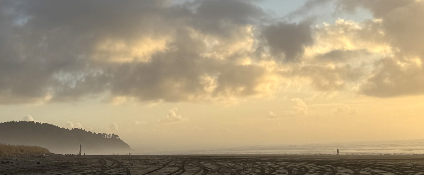
Here’s a misty early-morning shot taken not too far out from Clatskanie:
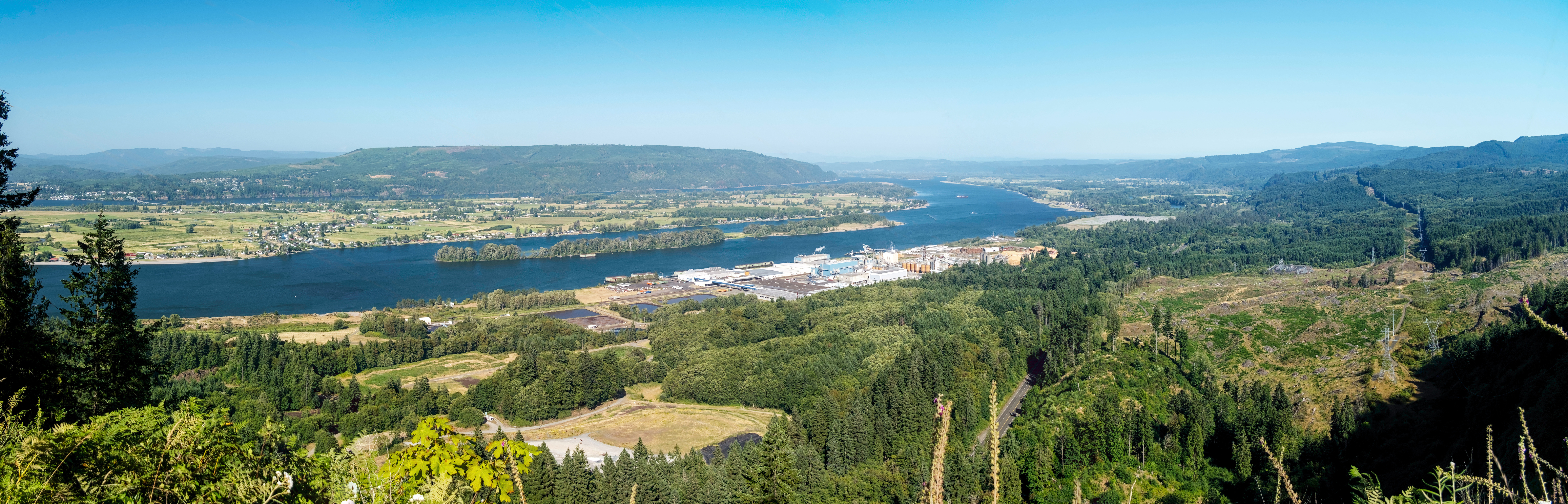
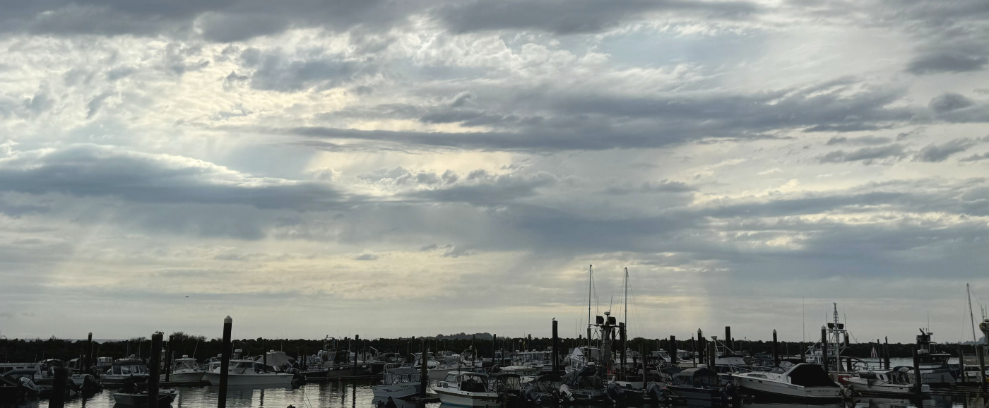
After just over ten or so minutes we head down the hill into rainier, with a rather stunning view of the Longview wood processing plants across the Columbia River.
The plumes of [what I hope is just] steam from the mill can be quite dramatic.
The image below is a panoramic photo that Dave took of Longview in May 2023. Click the image to see the original high-res image: you’ll be able to zoom in quite a bit. (You are welcome to download and use the image. It is 8844 pixels wide and 7.8MB.)
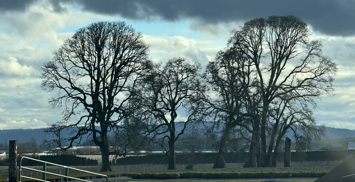
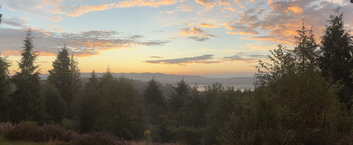
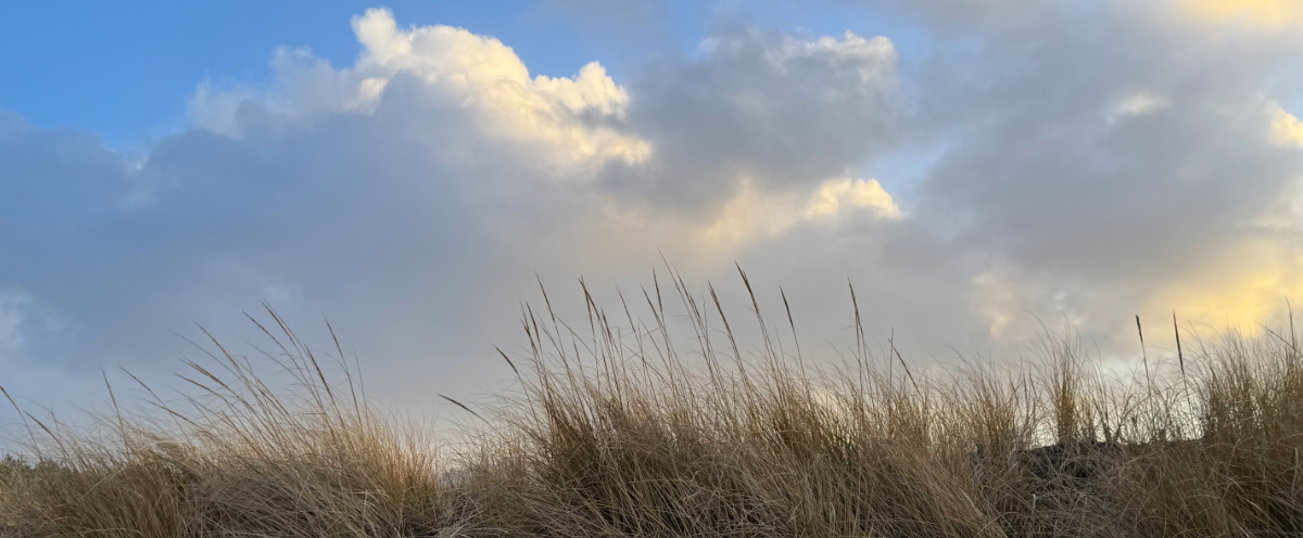
I have taken many, many photos on this drive, but most of them are of amazing clouds with trees whizzing by. So many times I’ve seen spectacular sunrise views along the way and I curse, knowing that I am on a schedule and do not have the time to actually stop the car and get out to take pictures.
So for now, the best I have is this photo of trees north of the highway in St. Helens. I turned off the highway, pulled over, took the picture through the windshield, then got back on the road.
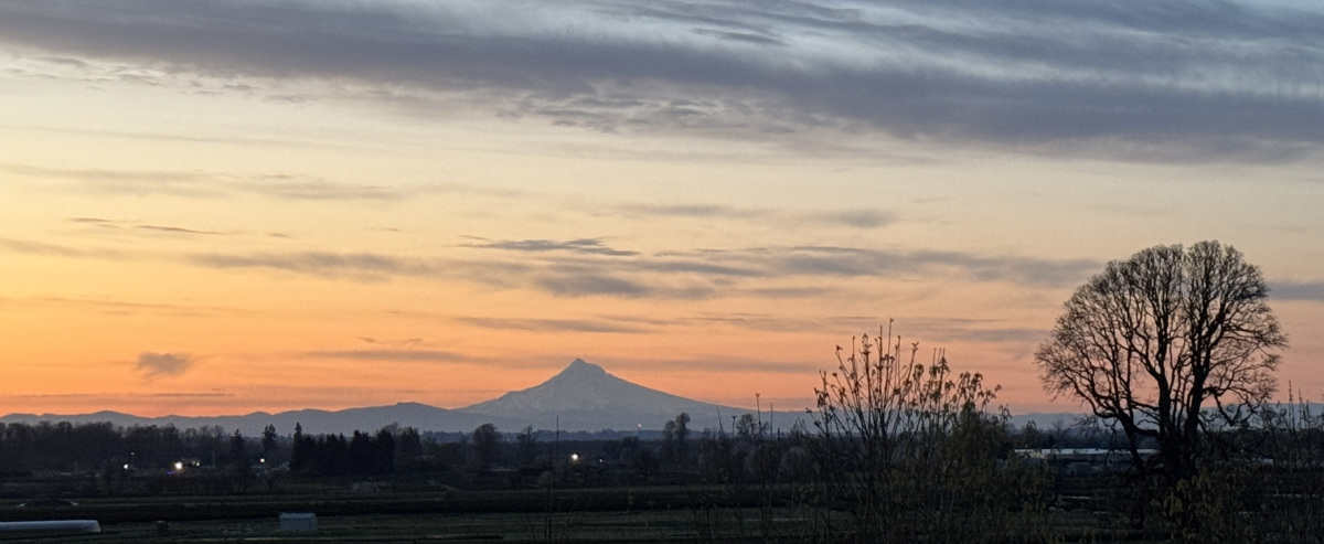
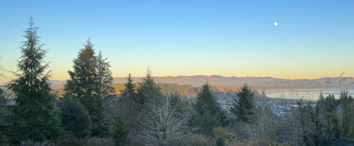
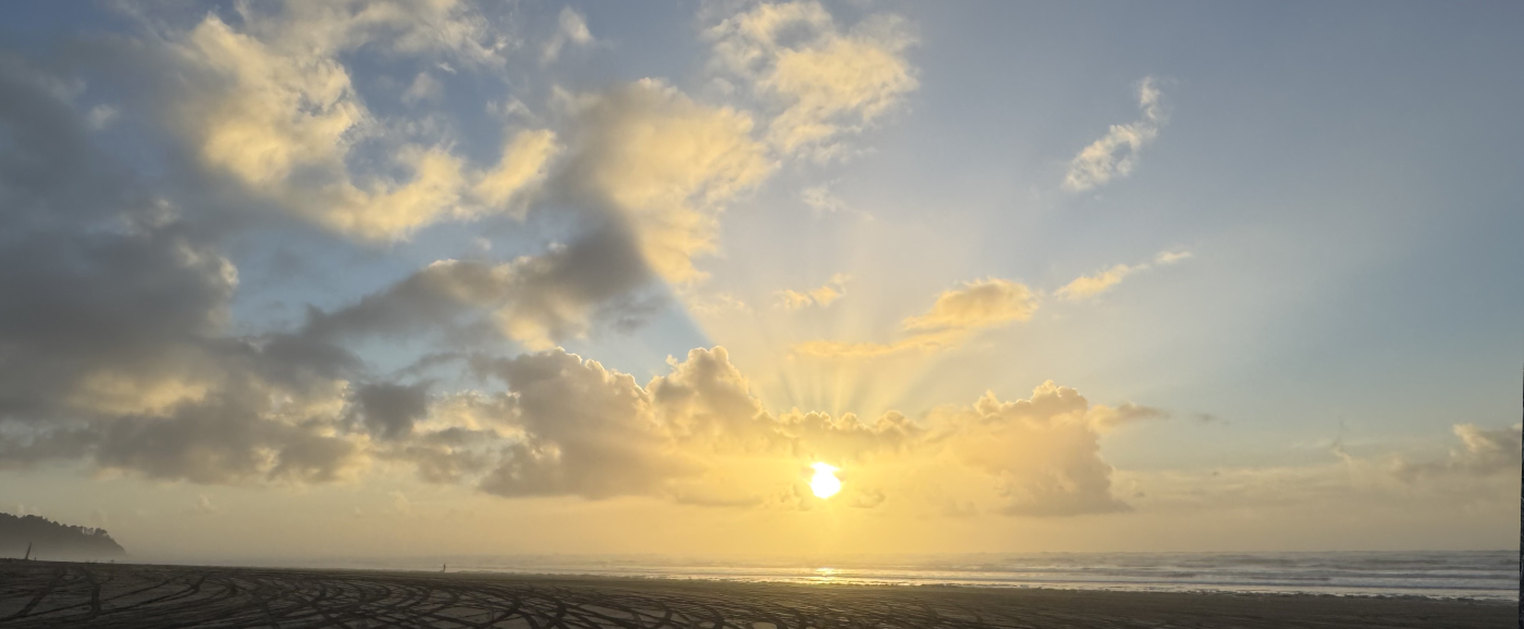
I schedule extra time when I can so I can pull over for a good shot. Here’s an early-April sunrise taken from St. Helens showing Mt. Hood
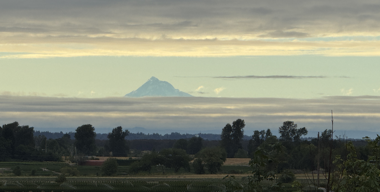
And here’s a June morning shot taken from the same place:
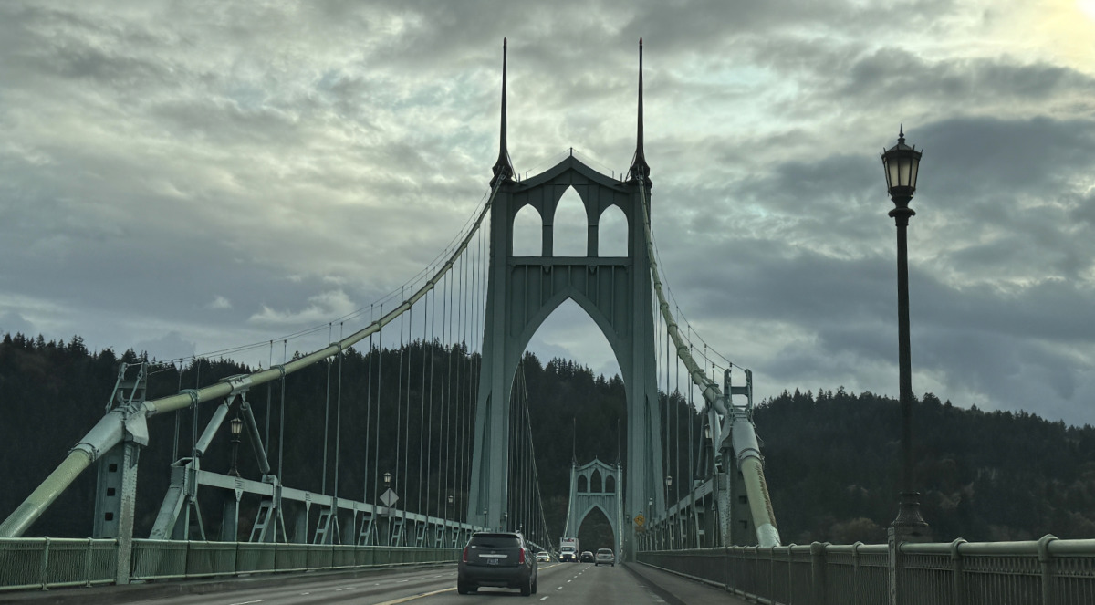
Once you are inside the Portland city limits, you’ll see the St. John’s Bridge (although these photos were taken heading back home from the city).
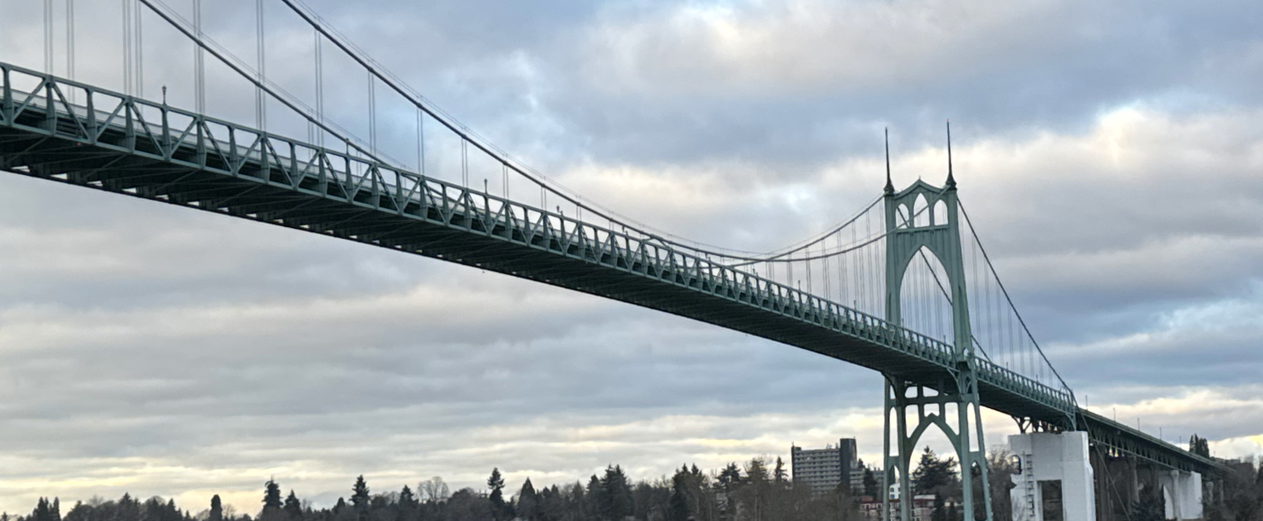
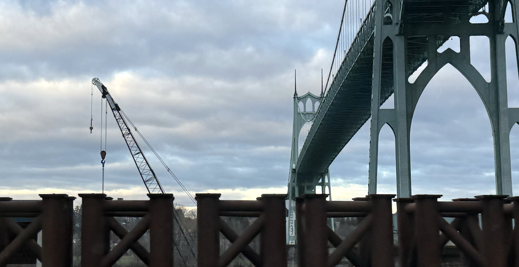
Here’s another view of the bridge from a rare day when we were driving across it.
Highway 30 west to the Long Beach Peninsula
While the drive toward Portland can be beautiful, there is even more beauty along the highway toward the coast. Heading west on Highway 30 takes you through forested hills past several tiny towns and ending in Astoria. Tthere we cross the Columbia River on the beautiful Astoria-Megler Bridge, and onward north up the Washington coast.
Westport
Westport is the next town west from Clatskanie. My favorite stop there is The Berry Patch restaurant (here’s a review), where they have great omelettes and a pie vending machine in front.
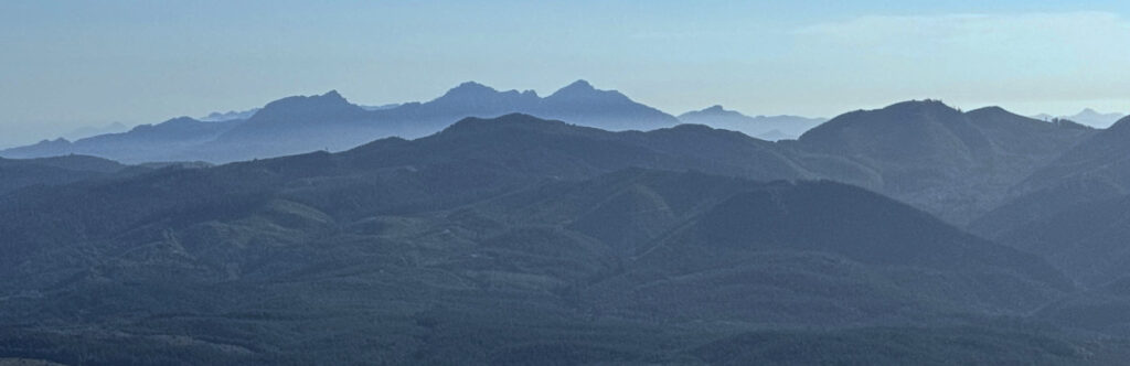
Knowing that Dave and I enjoy photography, in July 2025 our neighbor who grew up in the area took us on a drive into the forested hills above Westport. It was a fantastic drive, with state forest roads converging on logging roads to create a complete maze that I’m sure only the locals and the loggers know how to navigate.
It was a warm, hazy afternoon: the exact wrong time to go on a photoshoot, but the views were fantastic:
Here’s a photo that Dave took. Or rather, here is a compilation of five photos that Dave took and then combined into a single image. The real-life scene had power lines that actually looked pretty cool in the photos, but it was impossible to leave those in a combined pic. Just like the Longview photo in the section above, click the image below to see the original high-res image: you’ll be able to zoom in quite a bit. (You are welcome to download and use the image. It is 7764 pixels wide and around 8 MB.)
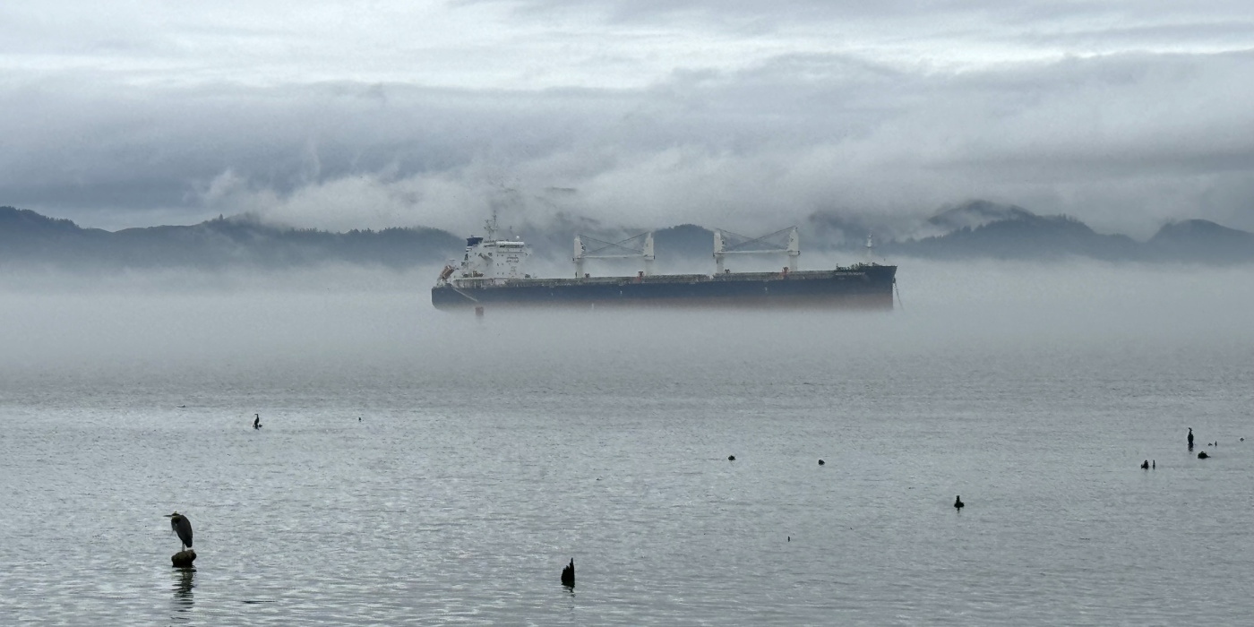
Astoria
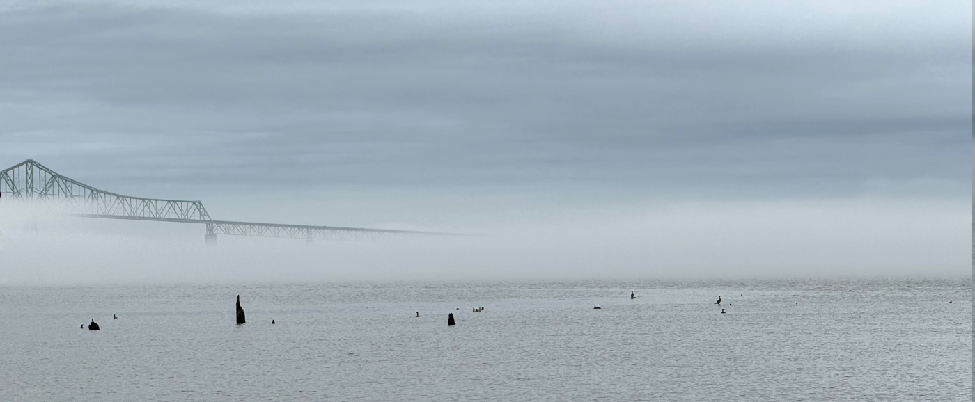
Astoria is a great little town, about 45 minutes west of us, with nice views and a pretty good selection of restaurants and shops. Sitting near the mouth of the Columbia River, many huge container ships (and cruise ships) can be seen from here.
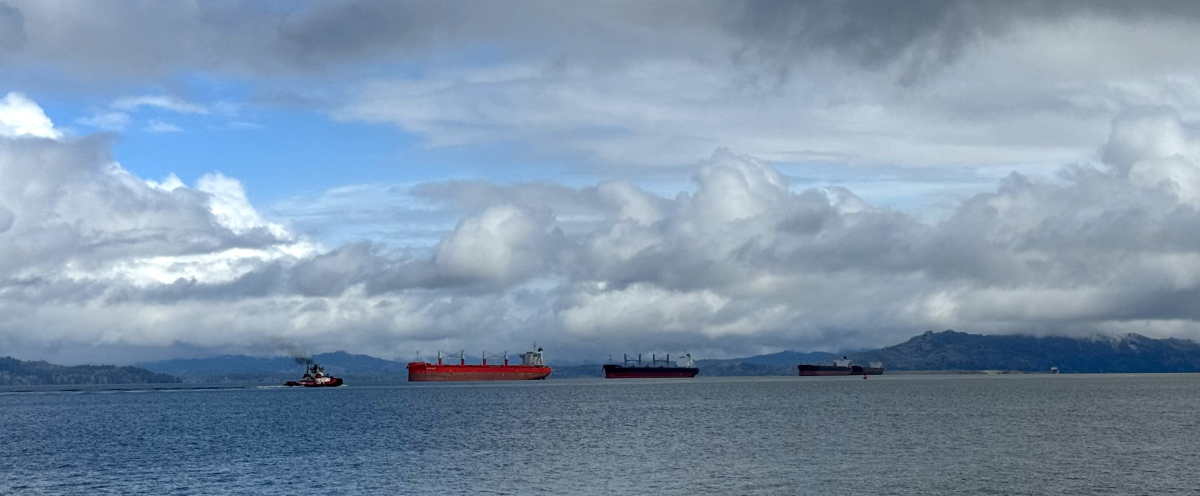
These ships pass under the 4-mile-long Astoria-Megler Bridge, which connects Oregon to Washington as the longest continuous truss bridge in North America (according to Wikipedia).
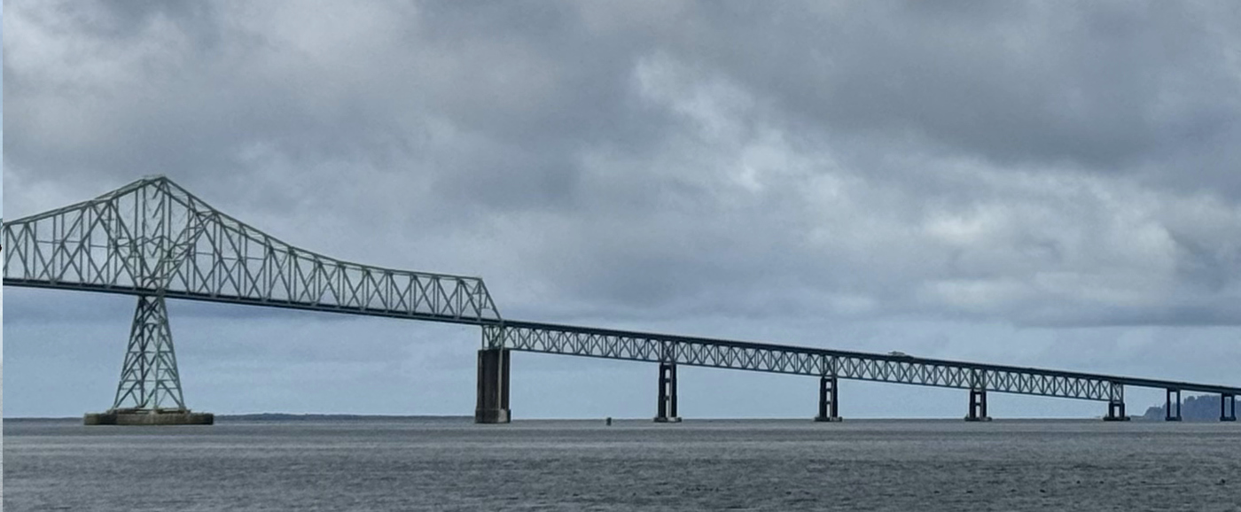
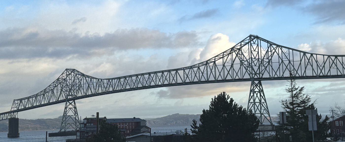
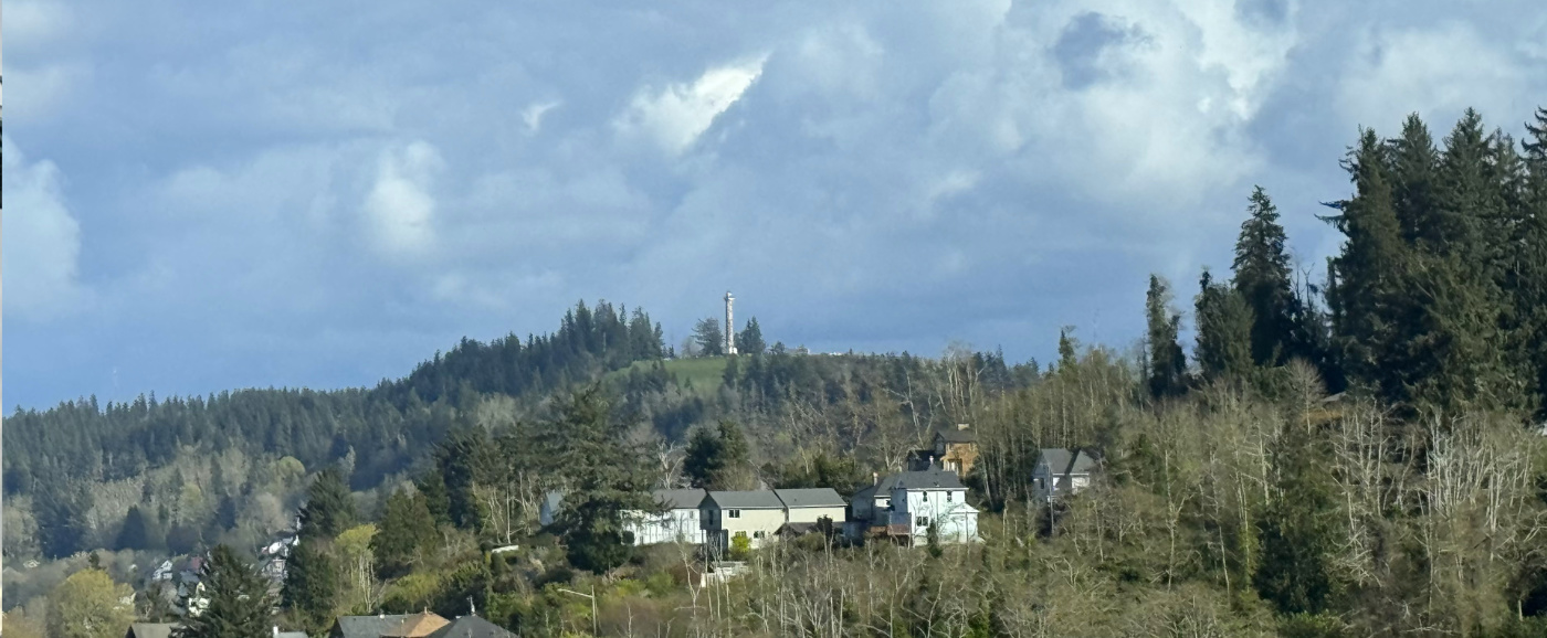
This photo, taken from the bridge, shows the 125-foot Astoria Column, which was built in 1926. You can take spiral stairs to the top to see magnificent views, but that’s still on my Someday list.
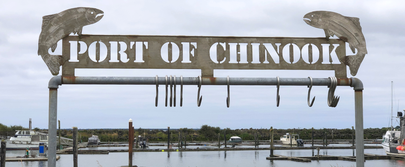
Chinook
Once over the bridge on the Washington side, we head west and north on Highway 101 through the Megler and McGowan areas, through the tiny town of Chinook, and on to the base of the Long Beach Peninsula. This ~20-minute drive takes you along the north side of the mouth of the Columbia.
Here’s a photo taken from the side of the road shortly after crossing the bridge. How amazing it is to me every time I see it that this huge expanse of water is a river.
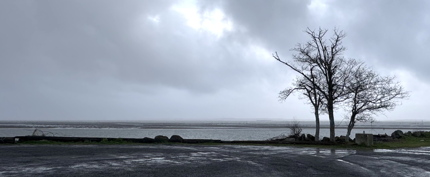
I have stopped in Chinook a few times to explore the harbor area and take a few photos.
Finally, the road takes a sharp north onto the base of the Long Beach Peninsula and the little town of Ilwaco. (More about the Long Beach Peninsula.)
Ilwaco
Ilwaco is my usual stopping place, where I stay at my brother’s home. I have weekended there many times over the last dozen years, taking a laughable number photos of the amazing sunrises as seen from my brother’s dining room window, looking over the Ilwaco Harbor. Here is a small sampling of those photos.
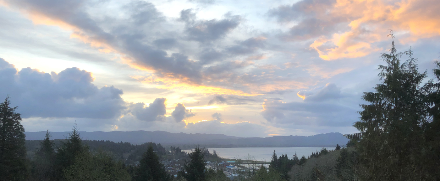
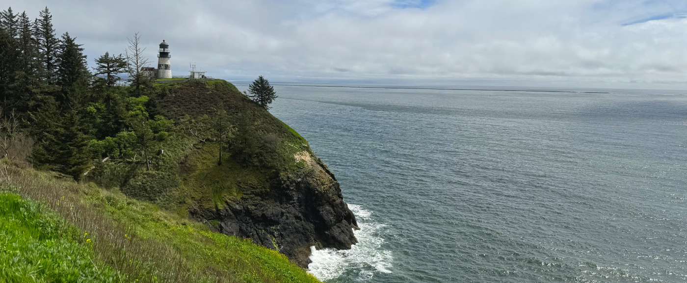
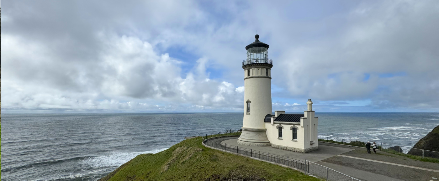
Ilwaco sits at the entrance to the Cape Disappointment State Park, which is a beautiful place to explore and to see beautiful views of the Pacific Ocean.
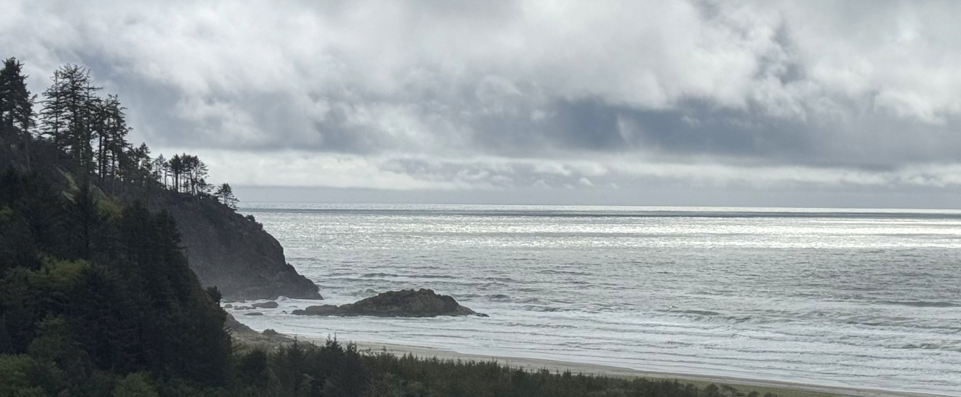
Just north of Ilwaco is Seaview, which offers beach access for some nice sunset photos (and occasionally to get to see a beached whale or other interesting stuff).
There is even more beauty to see as you travel north on this peninsula, but I’ll leave this here for now.
All I can say is that I am so thankful that Dave and I moved to Oregon, now over 30 years ago. I believe you can find beauty no matter where you are, but here in Oregon it’s right in front of me all the time.