 2020 has been the year that everyone jokes can get no worse. Which of course jinxed it. Mother Nature, or at least her complete schmuck of an illegitimate son, Climate Change, decided to make things worse.
Cue weeks of soaring temperatures, add a few days of high winds, stir in a few lightning strikes and a gender-reveal party — and now much of the western United States is on fire.
I feel pretty secure that we are safe, but 2020 has taught me that things can go fully apocalyptic when you least suspect it. Although we have friends who live near enough to the fires to have evacuated from their homes, the closest fires are ~50+ miles SE of us where my partner and I live in NW Beaverton, Oregon. Things will have to go pretty wrong for it to impact us.
Many people all up and down the western half of the country have posted spectacular photos of the dark orange skies, and on Friday, September 11 (the anniversary of one of this country’s darkest days), the news outlets reported that Portland had the worst air quality of all major cities in the world.
The smoke-filtered sunlight adds an eeriness wherever you look, making the simplest scene appear ominous and fascinating, not too unlike the light during the recent eclipse. Every person I see walking by is just staring around them and up into the sky.
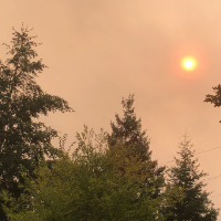
At first we had a bank of of smoke around us, high in the sky. It was orange in one direction, turning the sun into a bright red circle: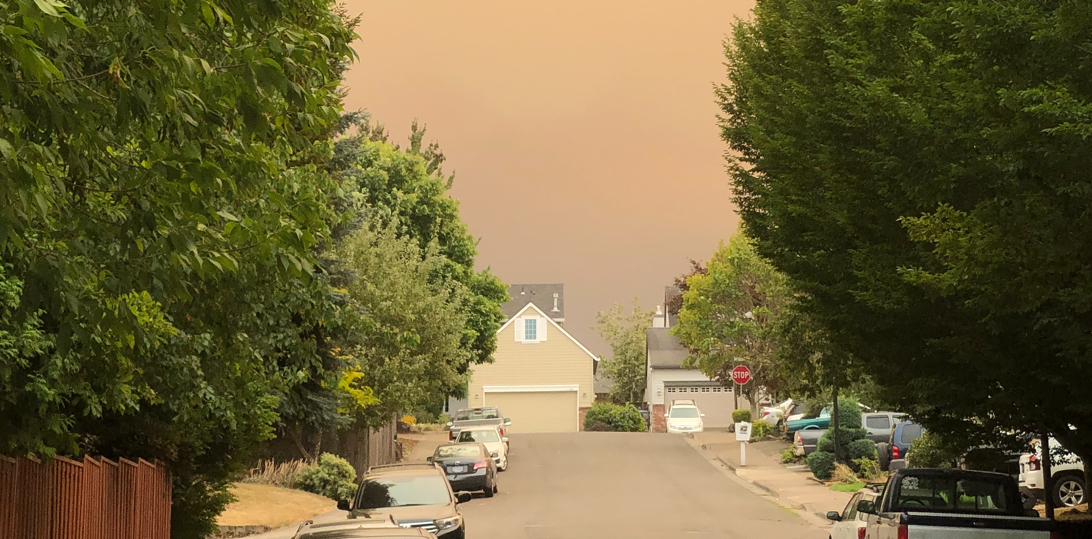
In the opposite direction it wasn’t so orange, but it sat in the sky almost like a solid wall about to fall onto the earth, making it look even more ominous:
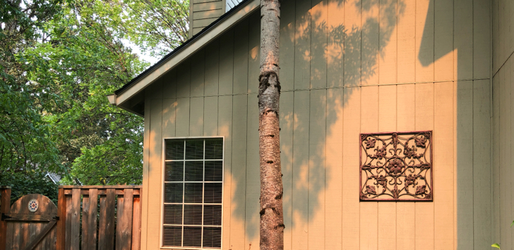
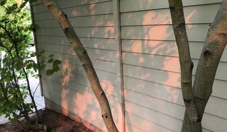
Later that day it was orange everywhere. I tried to get a good photo but failed to get a good shot of the sheer oddness of it. The closest I came was capturing how strange the interplay of the orange twilight and shadows looked against the house:
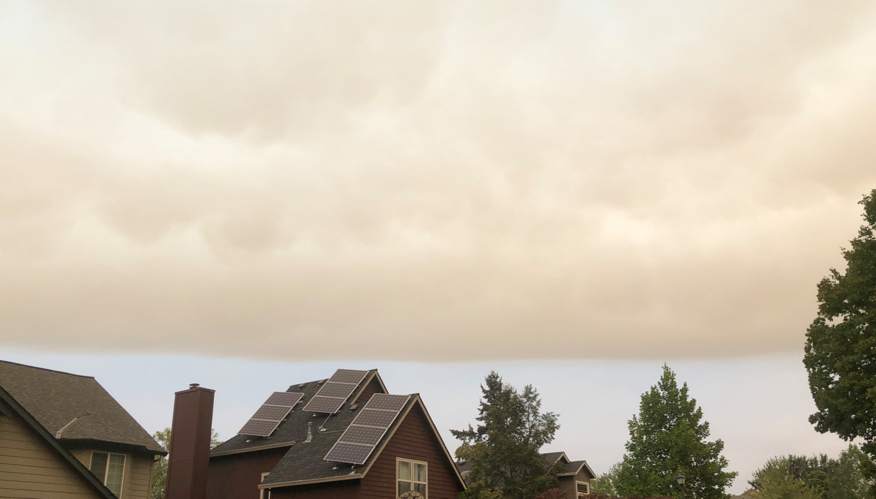
Just one day later, the smoke was less like a massive orange cloud and more like a dense fog that had settled into the air.
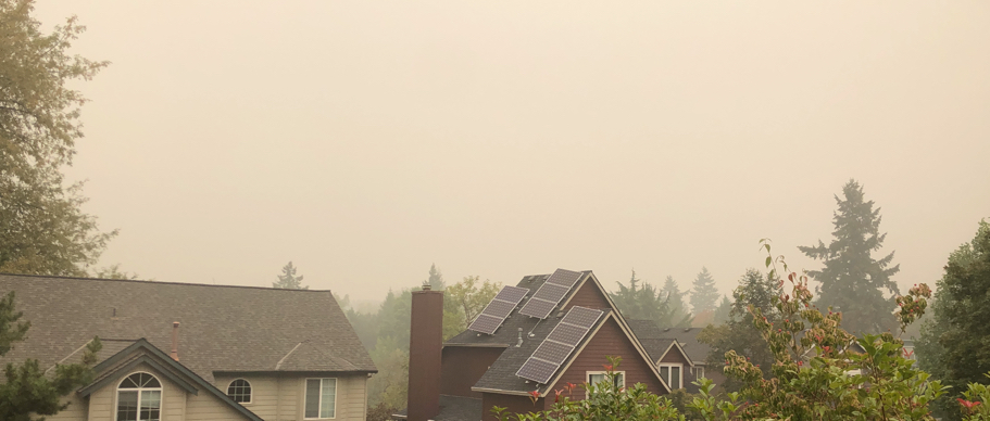
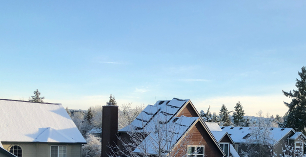
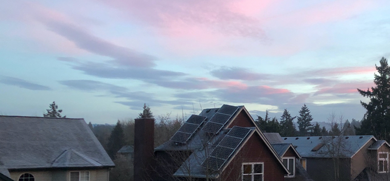
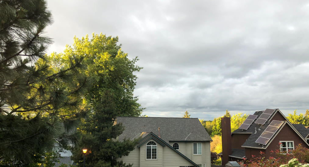
This is a common composition for some of my photos, because it is taken from my bedroom window and affords the best view. For comparison, here are other pictures of the same view taken over the years:
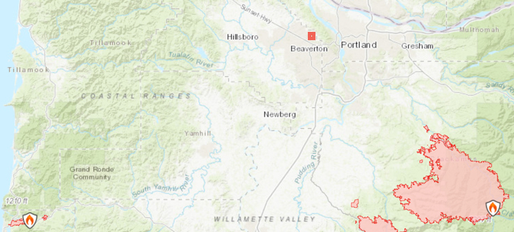
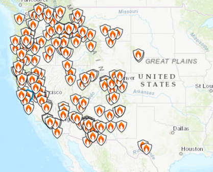
Here’s the site I’ve been obsessively checking to keep track of the fires: https://inciweb.nwcg.gov/incident/7056/, which showed this snapshot of the status of fires in the western U.S. as of this writing:
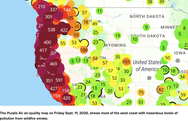
Here’s a map showing the hazardous air quality all along the west coast on September 11, with darker dots representing worse air. (Source)
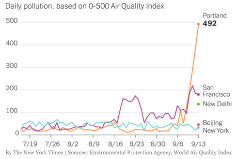
And here’s a final chart, this one from the NYT, showing the air quality in the Portland area measured as more hazardous than even the air in New Delhi and Beijing (although this looks to be particularly good days in Delhi and Beijing!). On September 15, the smoke from the Oregon fires had reached New York and Washington DC.